EVEREST EXPEDITION (8848.86 m)
''EVEREST" THE TOP OF THE WORLD
- Duration 58 Days
- Difficulty Level Medium
- Includes Full Package Expeditions
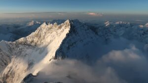
Mount Everest is Earth’s highest mountain above sea level, located in the Mahalangur Himal sub-range of the Himalayas. The China–Nepal border runs across its summit point. Its elevation (snow height) of 8,848.86 m (29,031.7 ft) was most recently established in 2020 by the Nepali and Chinese authorities.In the spring of each year, we embrace this intense challenge by taking a group of qualified climbers to Nepal to climb Mt. Everest via the South Col route. The South Col was the first successfully climbed route on Mt. Everest as Sir Edmund Hillary and Tenzing Norgay accomplished this feat in 1953. Since then, the South Col has seen over 1000 ascents. It is by far, the most successfully climbed route on the mountain.
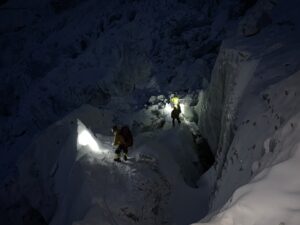
Mount Everest attracts many climbers, including highly experienced mountaineers. There are two main climbing routes, one approaching the summit from the southeast in Nepal (known as the “standard route”) and the other from the north in Tibet. While not posing substantial technical climbing challenges on the standard route, Everest presents dangers such as altitude sickness, weather, and wind, as well as significant hazards from avalanches and the Khumbu Icefall. As of 2019, over 300 people have died on Everest, many of whose bodies remain on the mountain.
Climbing Routes
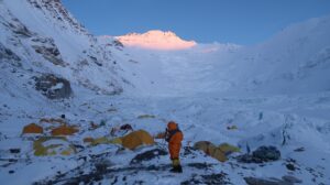
Camp I (6,400m): This camp 1 is situated at the flat area of endless snow deep crevasses and mountain walls. Because of the Sun’s reflection from this place we get warm and heating ambience at this place. In the night we listen the deep murmuring cracking sounds of crevasses beneath our tent. These are the areas where we have to walk to reach camp 2.
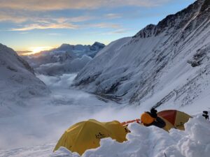
Camp II (6,750m): This camp 2 is situated at the height of the 21,000ft, which is located at the foot of the icy mount Lhotse wall though where we have to go ahead. Weather is here is good but bad clouds roll in from the low range of the Himalayan valleys to the bottom of our camp two. But wind here sometimes seems very violent enough to destroy our tents. After climbing these palaces we reach camp 3.
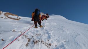
Camp III (7,100m): Camp 3 is located at the height of 22,300ft, adjoining to mount Lhotse wallby using fixed rope and with prior acclimatization it leads us to camp 4. Also on the way we have to ascend the steep allow bands (lose, down -slopping and rotten limestone). From their crossing short snowfield the route moves ahead up the Geneva Spur to the east before finishing the flats of the south col. (Another wells name meaning Saddle of pass). Oxygen should probably be use above base camp 3 in case of needed to the climbers.
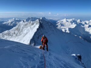
Camp IV (8,400m): Now we are on camp 4 which located at the height of 26,000ft; it is the last camp of the Expedition. From here summit is about 500m, distance far. This is the final and dangerous part of the climbing. This place is besieged by ferocious and violent winds. The normal best way to reach the summit is via the narrow South – East Ridge and it precedes the South Summits 28710ft.
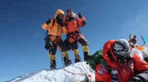
EVEREST SUMMIT: 8,848 METERS
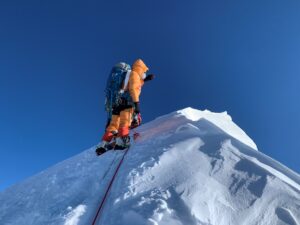
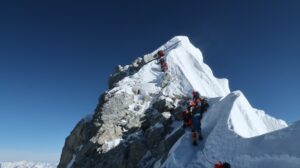
The final part of the route is a 9 to 1 hour round trip. We use oxygen from the start of C4. We go up regular slopes on a balcony for a first stage at Balcony (8,430 m) then up to the southern summit (8,749 m). From there a long ridge leads to the “Hillary step” (8,790m), or what’s left of it since the 2015 earthquake. The last few meters are easy, apart from the very high altitude. Your altitude Sherpa determines based on your progress and when you reach the various obstacles, whether you have time to reach the top safely and back down.
Typical expedition programme
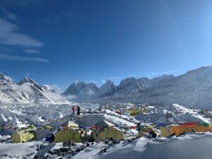
Acclimatization rotations and summit attempts punctuated by rest days at the BC
Round trip from BC to C1 (1 to 2 nights) and descent to BC – Allow 6 hours to climb
Round trip from BC to C2 via C1 and descent to BC – 1 night C1 at 5,900 m and 1 night C2 at 6,400 m – Allow 5 hours for the ascent between C1 and C2
Round trip from BC to C3 (without stopping at C1) – 1 night C2 at 6,400 m and 1 night C3 at 7,100 m – Allow 7 hours to climb between C2 and C3
NB: for attempts without Ox, a rotation of acclimatization to C4 (7,900 m) must be considered – Allow 7 hours for the ascent between C3 and C4
Summit attempts depending on the weather. It takes six days to get from base camp to the summit and 6 hours to go from C4 to Balcony.
Cost Include
Cost Non-Includes